Site is under Maintenance, we will be back soon! Thank you for your patience!

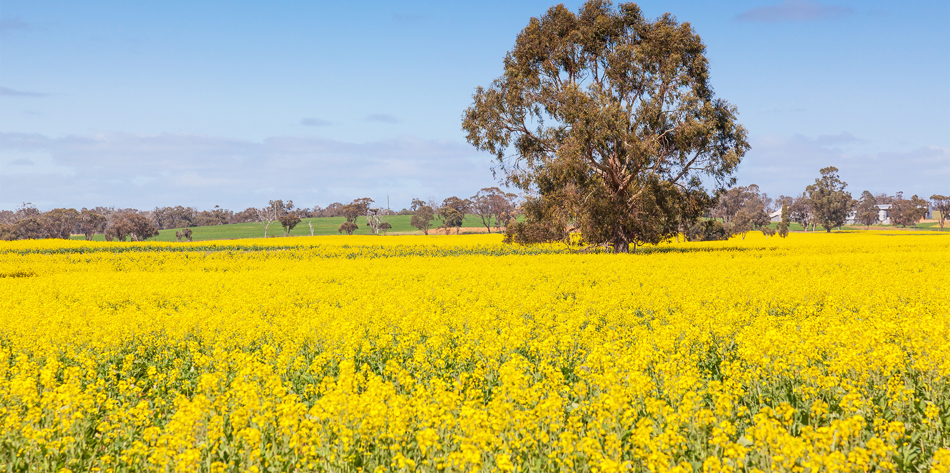
We are specialist providers of Agricultural, Horticultural, Animal Health and Irrigation products and advice.
We are specialist providers of Agricultural, Horticultural, Animal Health and Irrigation products and advice.